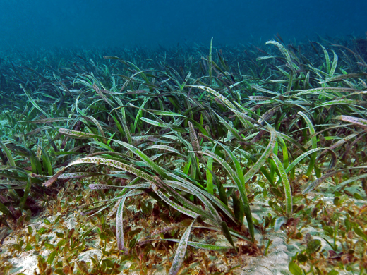
Threats to estuarine vegetation
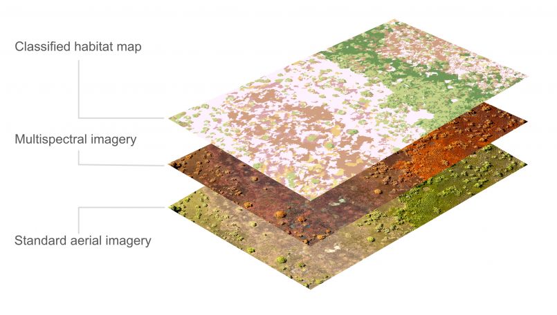 Mangrove and saltmarsh habitats photographed from a drone showing standard imagery, multispectral imagery and habitats mapped using artificial intelligence techniques.
Project updates
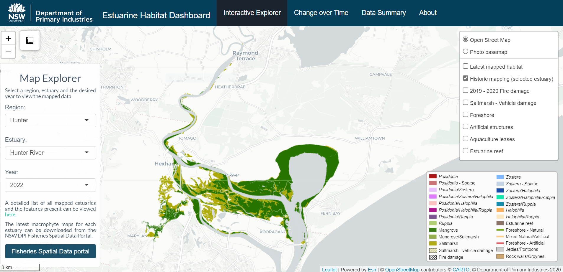
New estuarine habitat maps go live
20 October 2022
Bringing endangered seagrass into the classroom
27 October 2021