Estuarine habitat monitoring and threat assessment
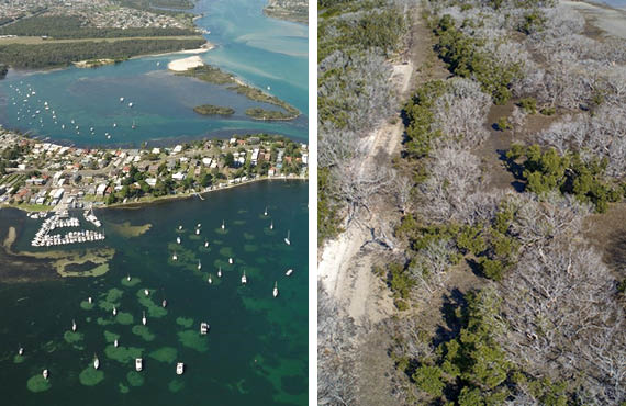 Left: Impacts to seagrass from boating infrastructure visible in aerial imagery.
Right: Mangrove trees totally or partially defoliated by a severe hailstorm travelling from right to left of image (Port Stephens). Most trees have not recovered after 5 years.
Left: Impacts to seagrass from boating infrastructure visible in aerial imagery.
Right: Mangrove trees totally or partially defoliated by a severe hailstorm travelling from right to left of image (Port Stephens). Most trees have not recovered after 5 years.
Project updates
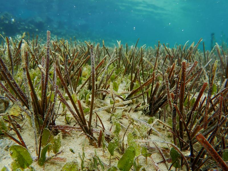
Encouraging signs for NSW seagrass in warming waters
27 March 2025
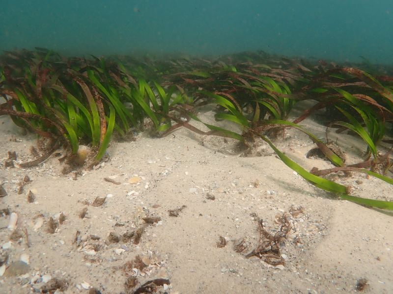
Tackling Climate Change: Estuarine Seagrass Under Stress
11 September 2024
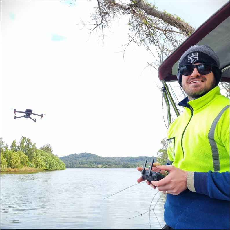
Eye in the sky: Drones assist mapping estuarine habitats
18 October 2024