Implementing the Marine Estate Management Strategy
Progress on implementation of the Marine Estate Management Strategy is published:
- every four months in a triannual snapshot
- at the end of each year in an annual report.
Copies of past reports are available below.
In addition, the Marine Integrated Monitoring Program is assessing the effectiveness of the Strategy in reducing priority threats and risks to the NSW marine estate.
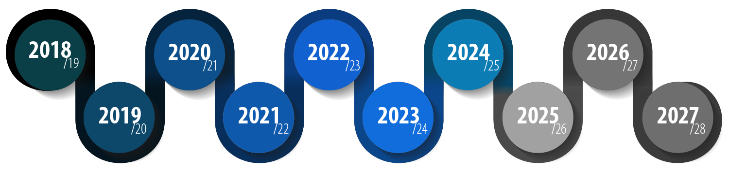
A ten-year strategy
The Strategy commenced its fifth year of implementation on 1 July 2022. See the current implementation plan for details about how the Marine Estate Management Strategy is being delivered in 2022-24.
Highlights of current progress
March to June 2024
| Oyster reef restoration and research | Bidhiinja: Restoring Our Oyster Reefs has launched! This exhibition developed by the Australian National Maritime Museum in collaboration with DPIRD Fisheries, tells the forgotten history of oyster reefs in NSW and the work underway to restore these important ecosystems. Bidhiinja is a travelling exhibition which will visit regional centres throughout 2024 and 2025. |
| Breakwall governance and management | An assessment of the condition of the breakwall across Jack Evans Boat Harbour in Tweed Heads has been completed. The integrity of the breakwall is important to the success of beach nourishment and bank restoration works within the boat harbour. These works are part of the Tweed River Estuary Coastal Management Program (CMP). |
| Climate change research | The NSW Marine Heatwave Response Plan was drafted for scientific publication. This plan presents the NSW example as a world-first for temperate marine systems, facilitating development and adoption of similar plans within alternative jurisdictions. |
| Cultural immersion | A fishing workshop took place at Boambee Creek, Toormina. It attracted over 50 Aboriginal youth to participate in the workshop. Local Aboriginal Elders spoke to the young people about the significance of fishing to Aboriginal culture. |
| Partnerships to protect marine wildlife | The Marine Wildlife Team of NSW National Parks & Wildlife hosted the NSW Turtle Summit at the National Marine Science Centre in Coffs Harbour. This summit gathered individuals involved in marine turtle research including representatives from state and commonwealth government agencies, not-for-profit groups, universities and wildlife rehabilitation groups. The event provided a valuable opportunity for collaboration and the identification of key knowledge gaps related to marine turtles in NSW. |
| Recreational fishing environment assessment | Educational and advisory content for the Responsible Crab Fishing campaign was published to provide guidance on this activity. |
| Vessel environmental standards | NSW waterways will have improved and proactive protection against sewage pollution from all vessels following the commencement of the Marine Pollution Regulation 2024 on 25 March 2024, and the introduction of the Sewage Pollution Prevention Certificate scheme. The scheme will also increase the safety of passengers and crew. |
| Social and cultural benefits monitoring and research | The Connections to Sea Country Survey animation playlist has been published. This playlist showcases 3 animations that help communicate the key findings of the surveys. They are Sea Country for cultural connections and wellbeing, Protecting Sea Country and Working together to care for Sea Country. |
| Greater Sydney region compliance focusing on marine protected areas | An audit of marine protected area signs between Bondi and Cape Banks in Sydney’s eastern suburbs has been completed. Educational materials were provided to bait and tackle shops to support new Eastern Blue Groper fishing rule changes. These changes prohibit the taking of Eastern Blue Groper by any method as part of a 12-month trial, intended to ensure greater protection of this iconic species. |
| Strategy program management | Publication of the Snapshot Report, November 2023 – February 2024. This provides an update to stakeholders and the community on the implementation of the Strategy. |
| Marine Integrated Monitoring Program | The Environmental Condition Framework was published this trimester. The framework provides a comprehensive summary of the selected monitoring projects and approaches to evaluate, monitor and report on the condition and trends of environmental assets of the NSW marine estate |
Reports

2023-24
2022-23
2021-22
2020-21
Baseline evaluation
- Strategy baseline evaluation Executive Summary and recommendations (PDF, 374.08 KB)
- Strategy baseline evaluation report (PDF, 1351.41 KB)
- Strategy baseline evaluation supplementary report (PDF, 1156.2 KB)
Progress reports
- Strategy Implementation Annual Report 2020-21 (PDF, 11212.48 KB)
- Strategy quarterly snapshot - Year 3, Quarter 4 (PDF, 2211.84 KB)
- Strategy quarterly snapshot - Year 3, Quarter 3 (PDF, 1646.27 KB)
- Strategy quarterly snapshot - Year 3, Quarter 2 (PDF, 1625.72 KB)
- Status report for local government - Initiatives 1-3 - September 2020 (PDF, 764.8 KB)
- Strategy quarterly snapshot - Year 3, Quarter 1 (PDF, 1119.91 KB)
Presentations from MEMS local government online forum - July 2021
- Introduction (PDF, 3776.63 KB)
- Review of the NSW water quality objectives (PDF, 3558.67 KB)
- Risk based framework for urban waterway health (PDF, 2270.02 KB)
- Risk based framework for regional waterway health (PDF, 2267.9 KB)
- Estuarine water quality monitoring (PDF, 2232.12 KB)
- Oyster reef restoration (PDF, 4833.15 KB)
- Improving roads and tracks (PDF, 4871.89 KB)
- Riverbank vegetation improvement and stabilisation (PDF, 5369.89 KB)
- Clean coastal catchments on-ground and research (PDF, 748.11 KB)
- Fish friendly workshops for councils (PDF, 2161.73 KB)
- Construction sediment management and coastal design guidelines (PDF, 2545.07 KB)
- Fish friendly breakwater maintenance (PDF, 2140.58 KB)
- Marine vegetation strategies (PDF, 2376.67 KB)
- Domestic waterfront structure and estuary bank management strategies (PDF, 5006.01 KB)
- Coastal wetland rehabilitation (PDF, 2013.93 KB)
- Climate change threats to mangrove and saltmarsh (PDF, 6171.57 KB)
- Climate change monitoring (PDF, 2023.4 KB)
- Feedback from MEMS Local Government online forum (PDF, 191.25 KB)
2019-20
- Strategy Implementation Annual Report 2019-2020 (PDF, 7183.07 KB)
- Strategy quarterly snapshot - Quarter 4 (PDF, 800.14 KB)
- Status report for local government - Initiatives 1-3 - April 2020 (PDF, 1917.79 KB)
- Strategy quarterly snapshot - Quarter 3 (PDF, 2246.38 KB)
- Strategy quarterly snapshot - Quarter 2 (PDF, 2152.39 KB)