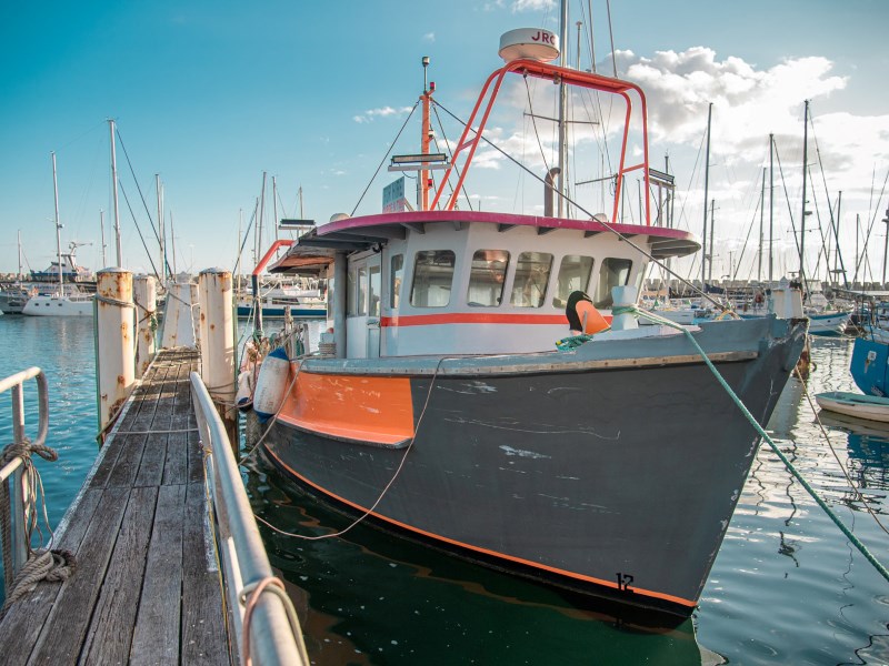
New marine protected area maps a hit!

New interactive maps for NSW marine parks and aquatic reserves are proving popular with more than 11,000 hits recorded in January alone! This includes interest from as far afield as Turkey, Peru and Vietnam!
The maps are found on the NSW DPI marine parks and aquatic reserve webpages and contain information about the rules that apply in these areas.
Website visitors can now just click or tap on an area, and they will be able to see relevant information and the rules that apply. Users who have location services turned on can also see their position relative to zone boundaries.
These new web maps reduce the need for paper maps while helping marine estate users stay better informed about the rules that apply in our marine protected areas.
To see how they work now, check out the new interactive maps for Cape Byron Marine Park or Cabbage Tree Bay Aquatic Reserve.
You can find maps of your local marine protected area on the DPI Fisheries website.
Latest news
Women in science - meet Lesley Diver
Lesley manages the 12 aquatic reserves in NSW to protect marine biodiversity while supporting other sustainable uses, including research, education, eco-tourism and cultural and recreational use.

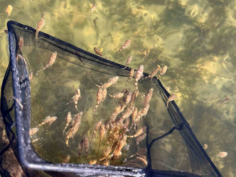
South Coast Dusky Flathead stocks boosted
Dusky flathead stocks in 2 popular NSW South Coast estuary systems have received a boost following the recent release of more than 21,000 flattie fingerlings!
Getting trawl whiting right
Like any fishery, the NSW Trawl Whiting Fishery is a finite resource and needs careful management. That’s why DPI Fisheries has worked in consultation with commercial, recreational and Aboriginal fishers to develop the NSW Trawl Whiting Harvest Strategy.