A NSW Government website - NSW Marine Estate

Instagram NSW Marine Estate

What's my zone?


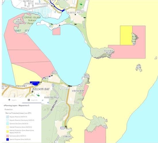
Map showing marine park zones


Marine parks and their zones can now be seen on the NSW e-Planning Spatial Viewer.

The NSW e-Planning Spatial Viewer is a tool used by councils, industry, the community and government to map and understand land use zones and development controls across NSW.

Following a recent collaboration between marine estate agencies, marine parks (including their zones) have been added to the NSW e-Planning Spatial Viewer by NSW Department of Planning and Environment.

This allows the land use and marine park rules to be overlayed so that they can be better understood by council, the community, industry and government.

Adding the marine park zones to the e-Planning Spatial Viewer will build awareness about marine parks, their importance, and the purpose of the different zoning.

You can check out the NSW Marine Park zones in the e-Planning Spatial Viewer at:

https://www.planningportal.nsw.gov.au/spatialviewer/#/find-a-property/address


Latest news

Dive into our NEW curriculum based Marine Estate Agents program for Years 1-6!

DPI Fisheries Director Marine Estate Management Mr Heath Folpp is pleased to announce the public release of the new primary schools Marine Estate Agents program.

thumbnail_img

Women in science - meet Lesley Diver

Lesley manages the 12 aquatic reserves in NSW to protect marine biodiversity while supporting other sustainable uses, including research, education, eco-tourism and cultural and recreational use.

thumbnail_img

South Coast Dusky Flathead stocks boosted

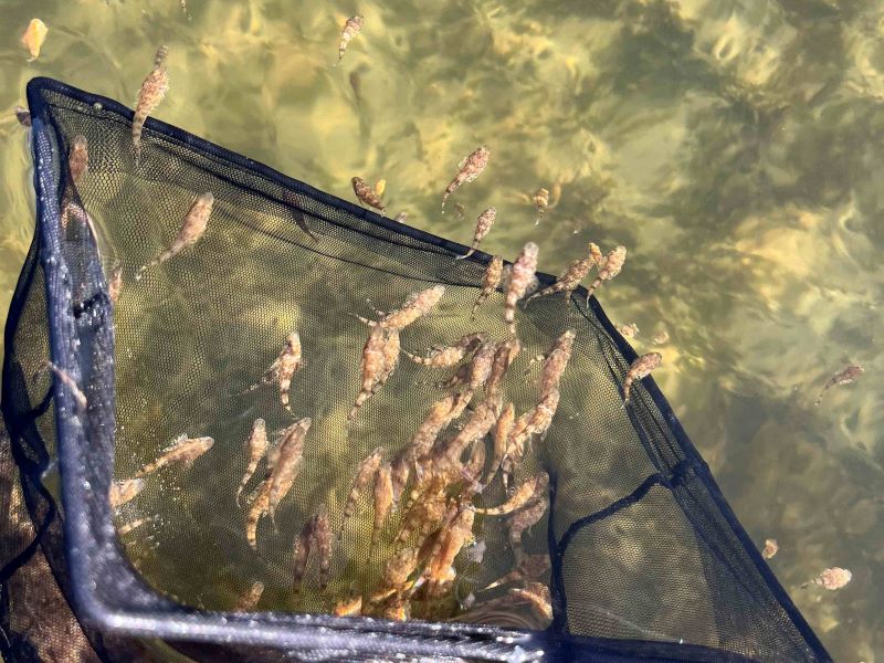
Dusky flathead stocks in 2 popular NSW South Coast estuary systems have received a boost following the recent release of more than 21,000 flattie fingerlings!
thumbnail_img