New marine protected area maps a hit!

New interactive maps for NSW marine parks and aquatic reserves are proving popular with more than 11,000 hits recorded in January alone! This includes interest from as far afield as Turkey, Peru and Vietnam!
The maps are found on the NSW DPI marine parks and aquatic reserve webpages and contain information about the rules that apply in these areas.
Website visitors can now just click or tap on an area, and they will be able to see relevant information and the rules that apply. Users who have location services turned on can also see their position relative to zone boundaries.
These new web maps reduce the need for paper maps while helping marine estate users stay better informed about the rules that apply in our marine protected areas.
To see how they work now, check out the new interactive maps for Cape Byron Marine Park or Cabbage Tree Bay Aquatic Reserve.
You can find maps of your local marine protected area on the DPI Fisheries website.
Latest news
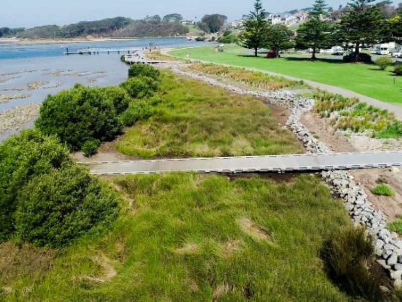
Hunting for treasures in Wagonga Inlet: How do we value our estuaries?
Narooma is a hidden gem on the South Coast, but what value does the community place on its natural treasures, particularly in and around the Wagonga Inlet?
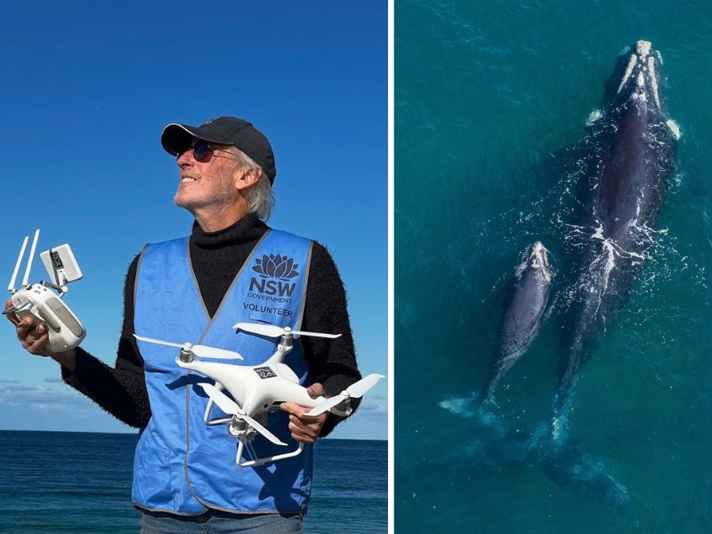
Shout out to all our current and future Citizen Scientists
Global Citizen Science Month is a time to recognise and celebrate the work of the citizen scientists in our community.
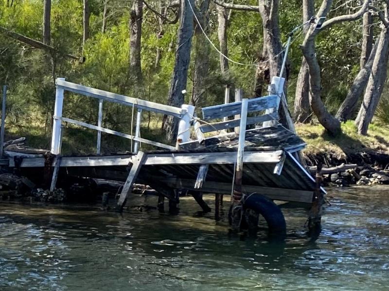
Funding available to repair damaged public boating infrastructure
The NSW Boating Infrastructure Emergency Repair Pool (BIERP) provides critical funding to repair public boating infrastructure damaged by natural disasters or severe weather events.