Big data for better understanding ocean outflows
.")
How can we monitor the effects of flood events on water quality of NSW coastal waters?
How did this years’ flooding events change the water quality along the NSW coast?
These are some of the questions a collaborative NSW Department of Planning and Environment and CSIRO project are hoping to answer by analysing more than 20 years of satellite imagery data focusing on the NSW coast.
The Coastal Outflows project is a NSW Marine Estate Management Strategy funded project that will combine decades of satellite images with water quality data to reveal how the quality of estuarine and coastal waters changes after weather events, and over time.
Dr Tim Ingleton, Senior Scientist Coastal & Marine from NSW Department of Planning and Environment said using CSIRO’s “data cubes” will enable them to gain a much richer understanding of water quality along the NSW coast than ever before.
“The new data collection and algorithms developed based on these estuaries will help us map water quality hard up against the coast and over the NSW shelf for the first time,” he said.
“CSIRO’s expertise and cloud computing means we can analyse 20 years of satellite data in days compared to weeks,’ Dr Ingleton said.
Dr Ingleton said once developed, the new data tool could be used to model coastal outflows up and down the NSW coast and to better manage our coastal waters.
“This will help us understand where the nutrients and sediments go when they are discharged from the estuaries during flood events and for what period they remain in the water after floods,” he said.
“The knowledge gained through this project is essential to help better manage the water quality of our offshore environments into the future,“ Dr Ingleton said.
The Coastal Outflows project is funded under Marine Estate Management Strategy Initiative 1: Improving water quality outcomes. It seeks to fill knowledge gaps around the impacts of estuarine plumes when they discharge to the coast.
Latest news
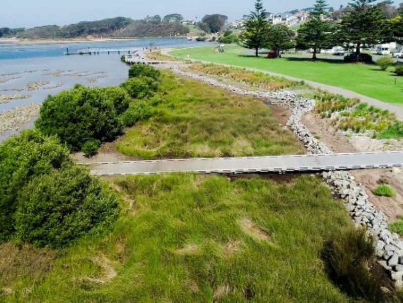
Hunting for treasures in Wagonga Inlet: How do we value our estuaries?
Narooma is a hidden gem on the South Coast, but what value does the community place on its natural treasures, particularly in and around the Wagonga Inlet?
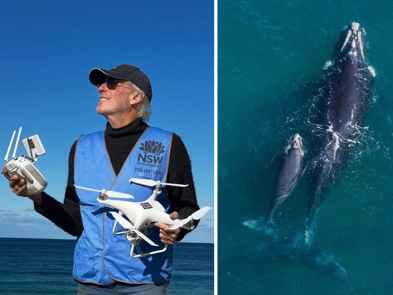
Shout out to all our current and future Citizen Scientists
Global Citizen Science Month is a time to recognise and celebrate the work of the citizen scientists in our community.
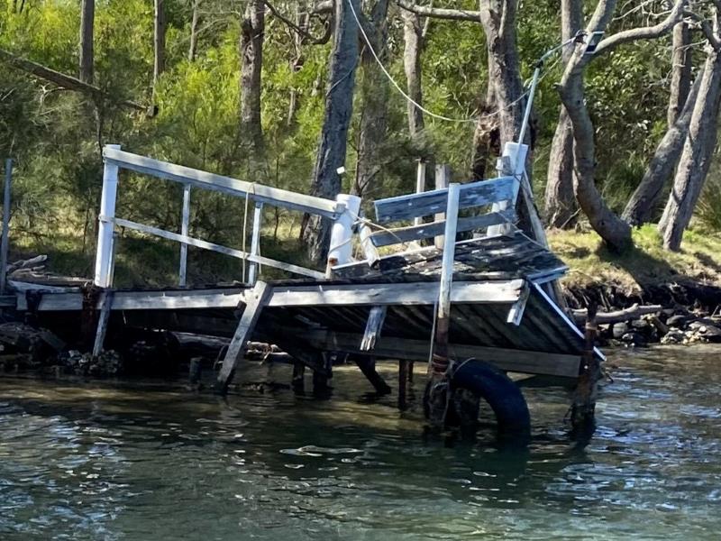
Funding available to repair damaged public boating infrastructure
The NSW Boating Infrastructure Emergency Repair Pool (BIERP) provides critical funding to repair public boating infrastructure damaged by natural disasters or severe weather events.