What's my zone?

Marine parks and their zones can now be seen on the NSW e-Planning Spatial Viewer.
The NSW e-Planning Spatial Viewer is a tool used by councils, industry, the community and government to map and understand land use zones and development controls across NSW.
Following a recent collaboration between marine estate agencies, marine parks (including their zones) have been added to the NSW e-Planning Spatial Viewer by NSW Department of Planning and Environment.
This allows the land use and marine park rules to be overlayed so that they can be better understood by council, the community, industry and government.
Adding the marine park zones to the e-Planning Spatial Viewer will build awareness about marine parks, their importance, and the purpose of the different zoning.
You can check out the NSW Marine Park zones in the e-Planning Spatial Viewer at:
https://www.planningportal.nsw.gov.au/spatialviewer/#/find-a-property/address
Latest news
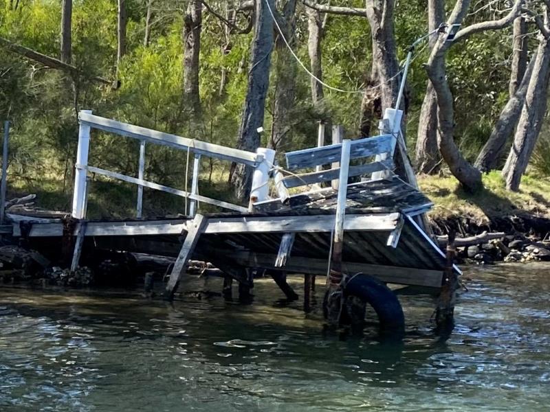
Hunting for treasures in Wagonga Inlet: How do we value our estuaries?
Narooma is a hidden gem on the South Coast, but what value does the community place on its natural treasures, particularly in and around the Wagonga Inlet?
Shout out to all our current and future Citizen Scientists
Global Citizen Science Month is a time to recognise and celebrate the work of the citizen scientists in our community.

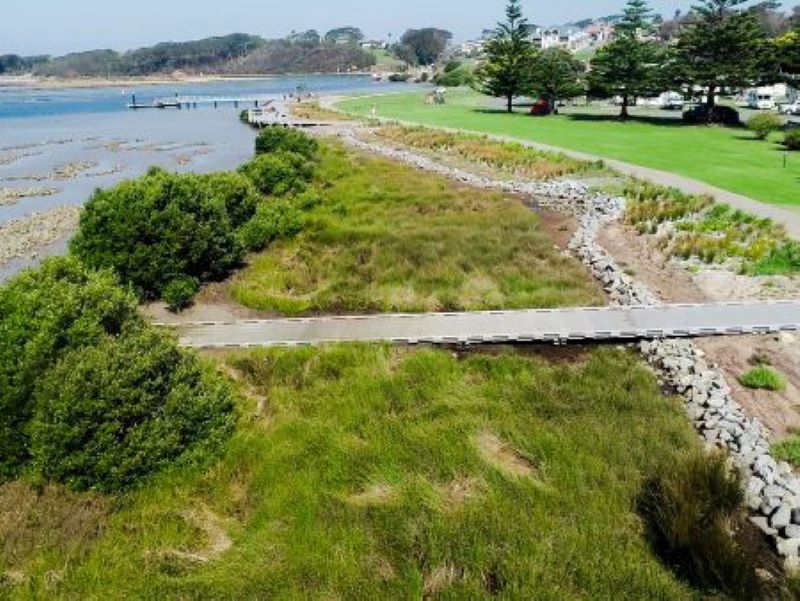
Funding available to repair damaged public boating infrastructure
The NSW Boating Infrastructure Emergency Repair Pool (BIERP) provides critical funding to repair public boating infrastructure damaged by natural disasters or severe weather events.