Marine vegetation management strategies
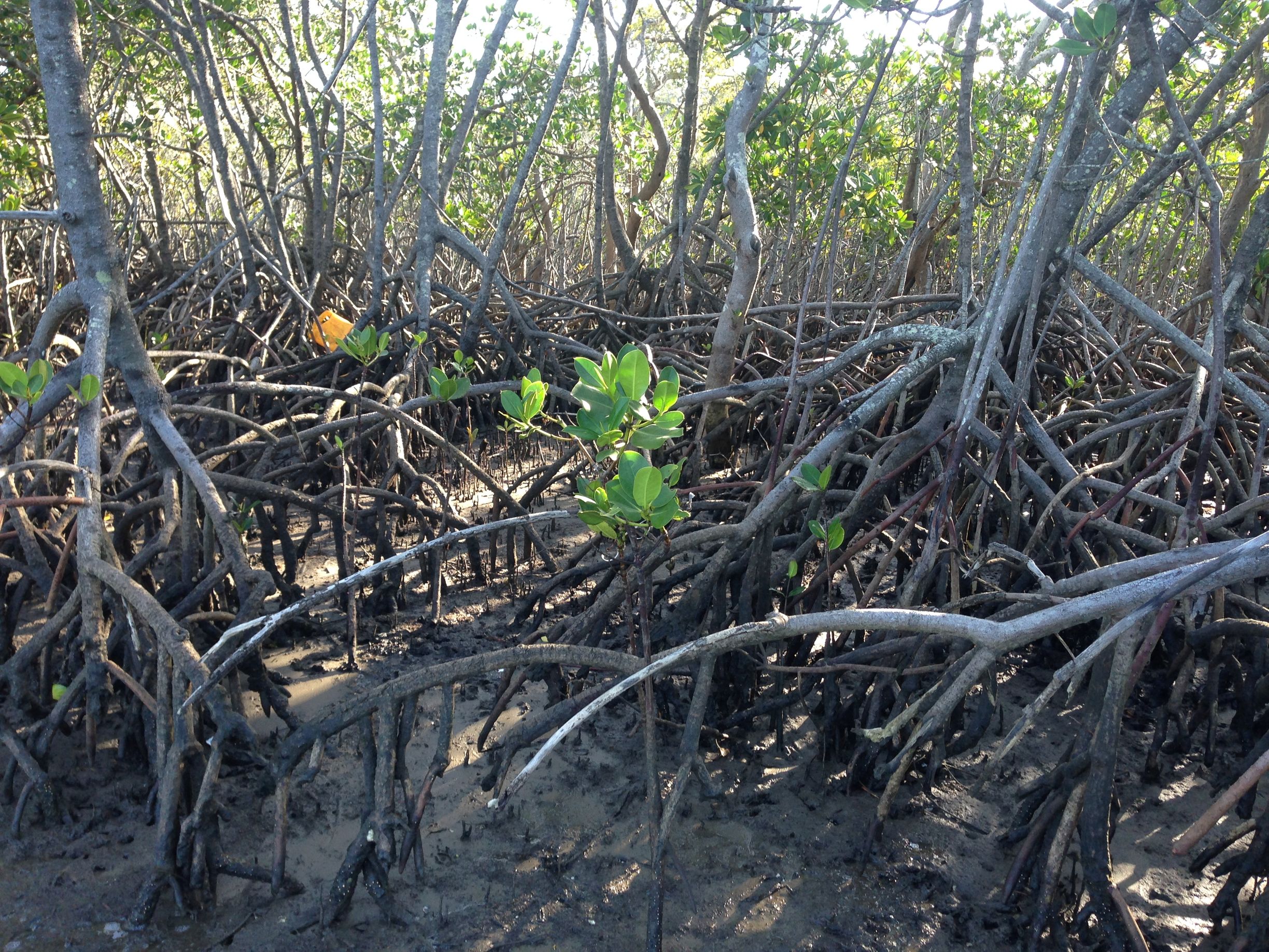
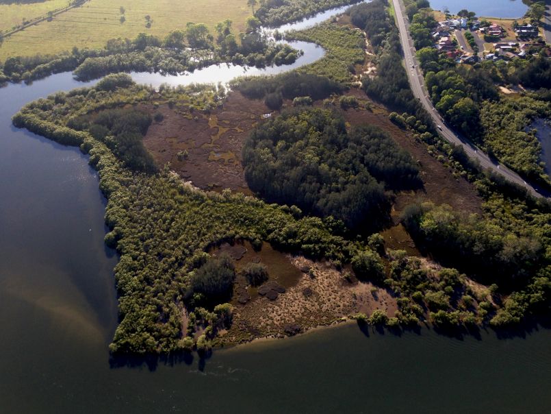
Overview
Mangroves and saltmarsh are coastal habitats adapted to living in sheltered parts of the foreshore and to the rise and fall of tides. They provide important benefits by:
- providing habitat and a food source for animals within estuaries and around their shoreline
- protecting shorelines from erosion and storm damage
- filtering the water
- storing carbon, known as blue carbon.
This project:
- addresses the key threats and risks for mangrove and saltmarsh, identified in the NSW Threat and Risk Assessment (TARA), including changed tidal and freshwater flows often associated with agricultural and urban development, grazing and trampling by livestock, clearing and four-wheel driving in saltmarsh
- identifies priority areas for the protection of healthy mangrove and saltmarsh areas and rehabilitation of degraded areas. This will ensure coastal management programs and rehabilitation efforts are directed to the best locations having considered climate change impacts (sea-level rise), existing human disturbances and blue carbon opportunities
- reduces red tape for low risk works required to maintain public infrastructure.
Blue Carbon
The carbon stored by mangrove and saltmarsh wetlands is known as ‘blue carbon’. The capture and storage of blue carbon can be increased by returning tidal flows to mangrove and saltmarsh systems that have been degraded or cleared by removing barriers to tidal flows. Returning the tide also brings back the other important benefits mangrove and saltmarsh wetlands provide, such as improved water quality and more fish.
LINK TO PUBLICATION (PDF, 7143.7 KB)
The project team in collaboration with Professor Kerrylee Rogers and Dr Kirti Lal at the University of Wollongong are spearheading new and novel research that identifies co-benefits of blue carbon storage and high priority areas suitable for re-establishing coastal wetlands which can also lead to improved water quality and habitats for important fisheries in NSW.
Locations
Statewide
- First pass prioritisation of blue carbon opportunities.
- Identify areas where mangroves can be trimmed to maintain safety clearances.
- Prioritise estuaries for future strategies.
NSW estuaries
Marine Vegetation Strategies are being developed for:
- Tweed River estuary
- Richmond River estuary
Local government areas - Statewide
Lead agency
Department of Primary Industries - Fisheries (DPI-F)
More information
Summary: Data layer products developed from the Blue Carbon report are accessible from the Fisheries Spatial Data Portal. The portal provides an intuitive public facing interface that allow users to search, view, and download a range of significant spatial datasets that are useful to many stakeholders. The home page (accessible via the above link) provides a user guide, short instructional videos on how to use some of the tools in the portal, as well as a link to the portal where the below data can be found.
Primary data layers (can be viewed and extracted from the portal)
- NSW Blue Carbon in watersheds of Instream Barriers
- NSW Blue Carbon Potential Priority Areas
Supporting data layers (can be viewed from the portal)
- NSW Blue Carbon Compatibility under 2017 Land use
- NSW Blue Carbon Indicator
- NSW Blue Carbon Stored within Coastal Quaternary Sediments
- NSW Blue Carbon Preservation for Long Term Sequestration
- NSW Blue Carbon Generation from existing Mangrove & Saltmarsh
- NSW Blue Carbon Permanency in Belowground Sediments
Contact:patrick.dwyer@dpi.nsw.gov.au
Our Initiatives
Contacts
Project updates
Maps of blue carbon priority areas now available
25 January 2023

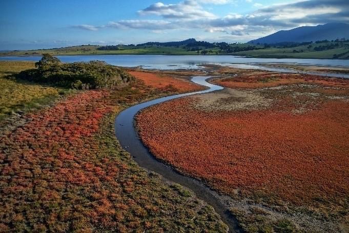
MEMS leads the way in push for “blue carbon” capture
21 October 2022

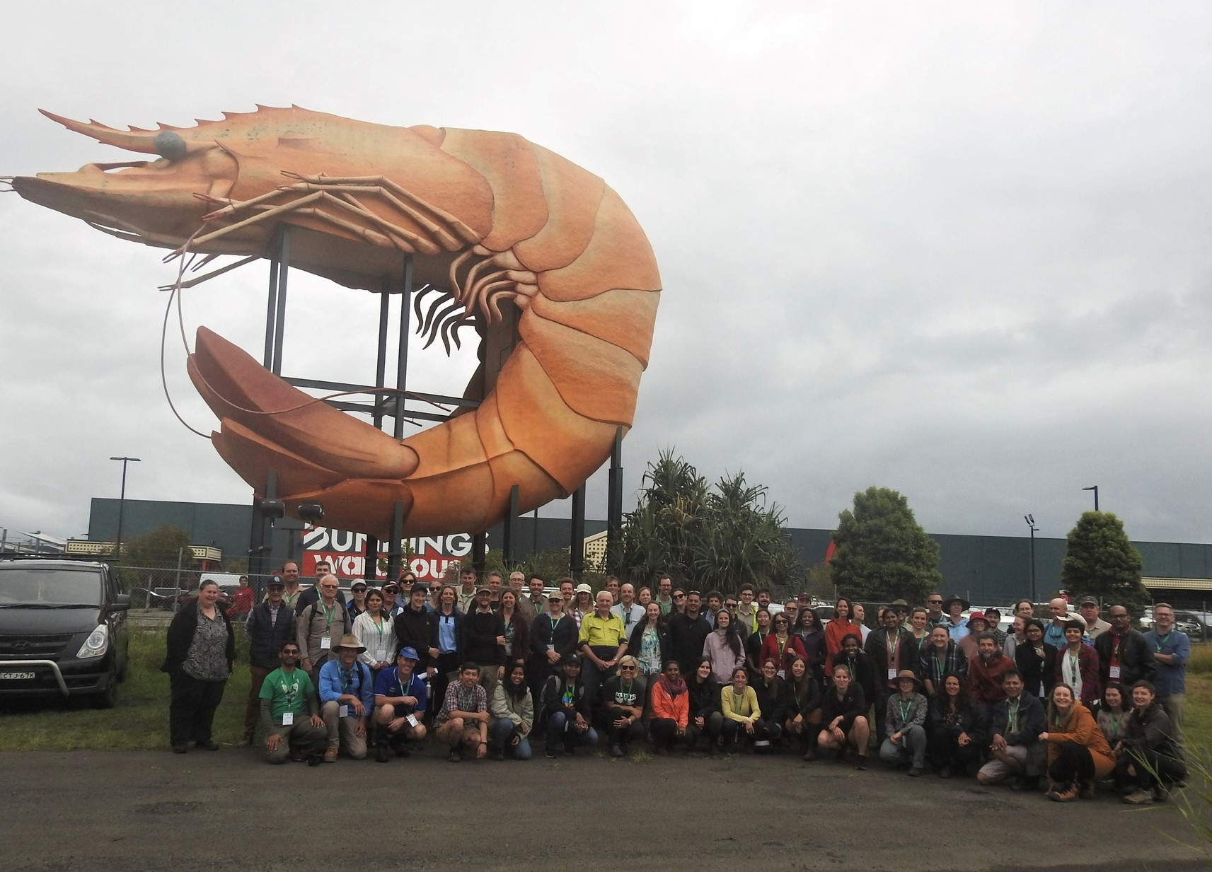
Talking tidal vegetation at #ASMN2022
10 October 2022
