Real-time insights into water quality are just a buoy away

On the NSW Central Coast, a groundbreaking buoy equipped with cutting-edge technology is transforming how water quality is monitored, offering real-time insights to safeguard our coastal ecosystems like never before.
Scientists from the DCCEEW’s Water Wetlands and Coastal Science Branch have deployed a high-tech monitoring buoy at Tuggerah Lake. This work is part of a 3-year collaboration with CSIRO.
DCCEEW Coastal & Marine Scientist Jake Stanaway-Dowse said that the buoy uses advanced sensors to collect real-time data and incorporates technologies like artificial intelligence and cloud computing.
“Managing the marine estate is challenging because of limited knowledge of ecosystem variability and the need for much more data. Our system, developed in partnership with CSIRO Environment, combines coastal and marine science with geospatial data analysis, earth observation technologies and machine learning. This could be a fundamental change and a completely new way of supporting water quality management across the NSW coast,” he said.
The buoy features two main components, CSIRO’s HydraSpectra Optical Water Quality Sensor (HydraSpectra – contactless water quality monitoring – Senaps (csiro.au)) that measures the colour of the surface waters, and a Xylem EXO system that records common water quality properties with data sent to the cloud in real-time.
Together, these tools have the potential to provide much more data for the development of models and validation of satellite maps of water quality for coastal and estuarine areas of NSW.
“We are deploying the sensor station to track seasonal and tidal changes as well as climatological changes and extreme events. We are installing this combination of sensors together to understand how the water colour changes with changing water quality conditions,” Mr Stanaway-Dowse said.
“These innovative methods allow us to measure water quality from river to ocean across timescales not achieved before in Australia.”
DCCEEW Senior Scientist Coastal & Marine, Dr Tim Ingleton, said the project combines satellite data with buoy measurements to assess water quality in the estuary.
“The goal is to integrate satellite observations with what’s happening in the estuary and along our coasts. This will lead to the advancement of regionally specific data-driven models that in the future, will provide a water quality forecast in real-time just like a weather forecast from the Bureau of Meteorology,” he said.
The project aims to identify key water quality factors that enhance water management practices and decision making, to track sediment and nutrient pollution and protect aquatic ecosystem health over time.
This work is part of DCCEEW’s ongoing collaboration with CSIRO. The Coastal outflows project sits under Mapping coastal outflows on the MEMS website.
The project is funded by the Marine Estate Management Strategy.
Latest news
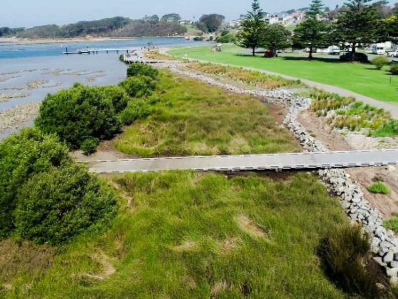
Hunting for treasures in Wagonga Inlet: How do we value our estuaries?
Narooma is a hidden gem on the South Coast, but what value does the community place on its natural treasures, particularly in and around the Wagonga Inlet?
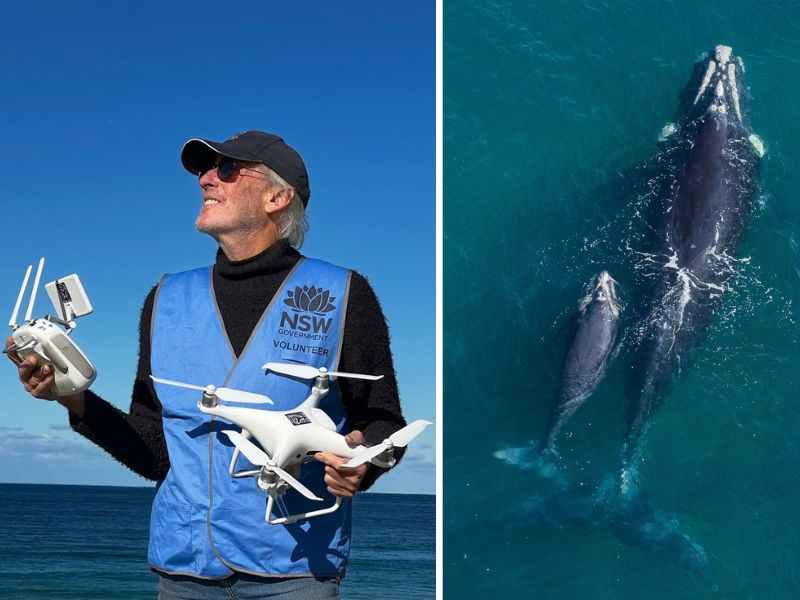
Shout out to all our current and future Citizen Scientists
Global Citizen Science Month is a time to recognise and celebrate the work of the citizen scientists in our community.
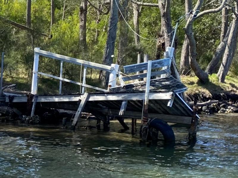
Funding available to repair damaged public boating infrastructure
The NSW Boating Infrastructure Emergency Repair Pool (BIERP) provides critical funding to repair public boating infrastructure damaged by natural disasters or severe weather events.