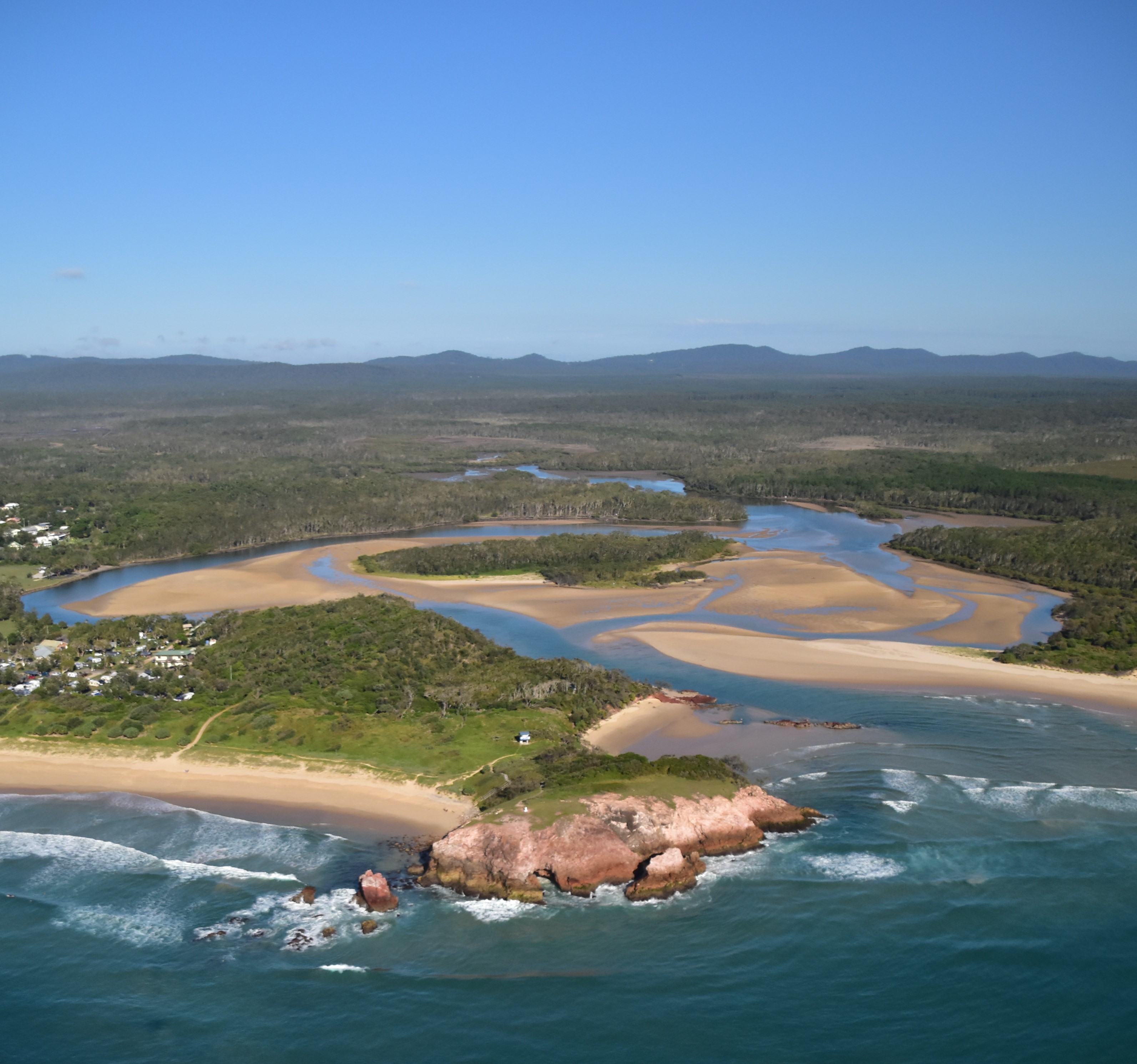
Mapping outflow events
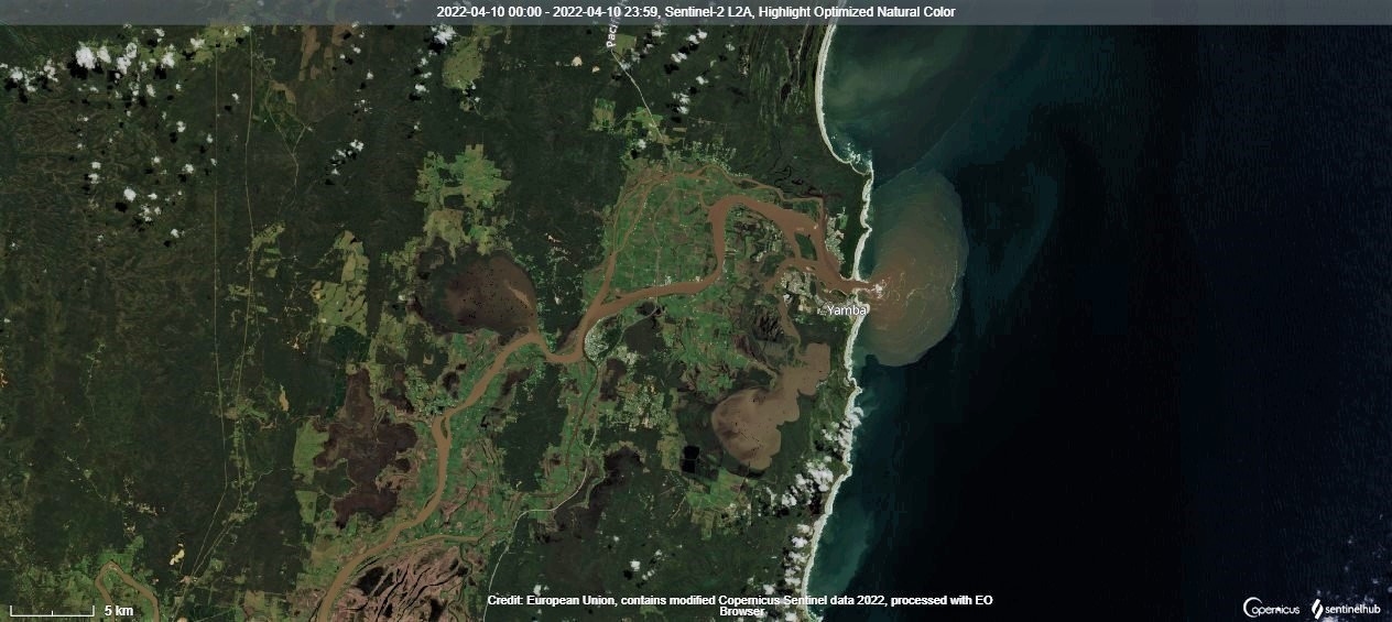 Optimised natural colour image from Sentinel 2 satellite (European Union) of an outflow event on the NSW north coast on 10 April 2022, showing sediment-laden plumes discharging to the ocean following heavy rainfall.
Project updates
Seeing the light – assessing coastal water quality from afar
19 January 2024
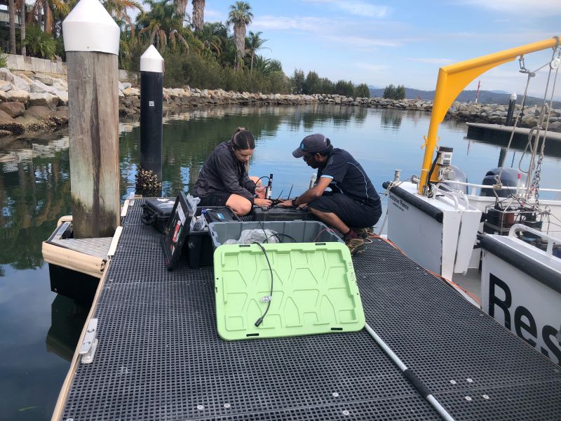
Real-time insights into water quality are just a buoy away
8 October 2024

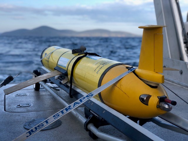
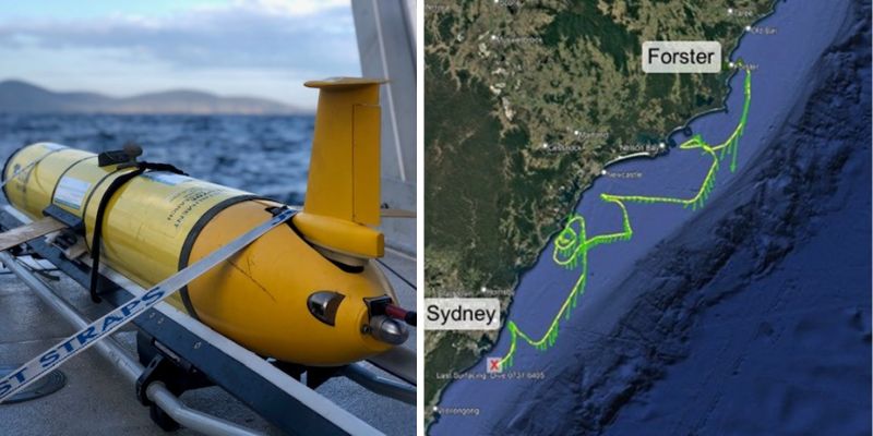
Gliding along the coast to monitor marine extremes
29 November 2024
Big data for better understanding ocean outflows
22 June 2022