Coastal floodplain prioritisation study
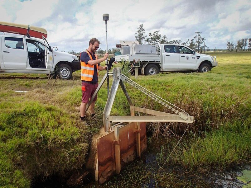
 Floodgate survey fieldwork. Photo credit UNSW WRL
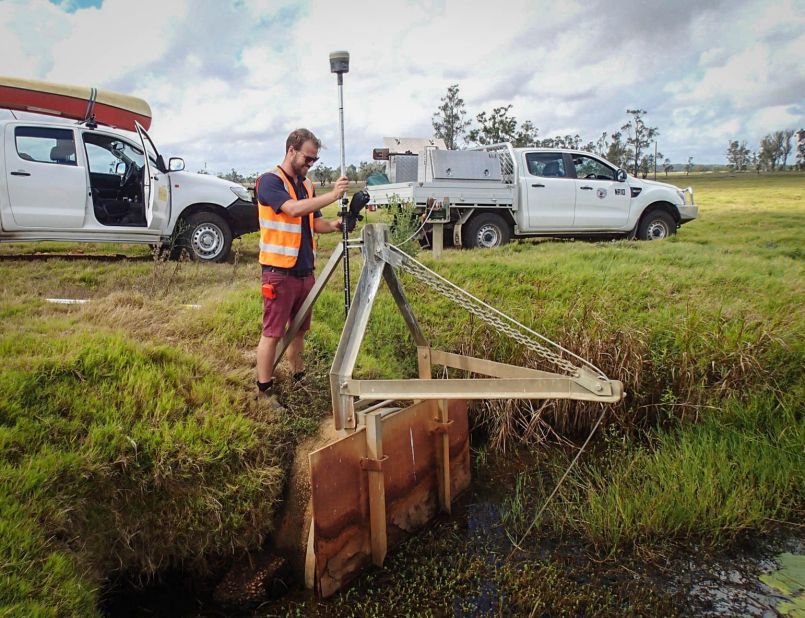
Overview
Why is this project important?
Coastal floodplains are the relatively flat low-lying land around many NSW estuaries.
In their natural state, coastal floodplains are often swampy, and they may flood during high tides or after heavy rainfall.
Constructed drainage across many floodplain areas has changed these natural wetland areas to land that is now used for other purposes, often agriculture.
The water drained artificially from coastal floodplains can cause water pollution under certain conditions.
Their low-lying nature also makes them susceptible to future sea level rise.
What have we achieved?
The Coastal Floodplain Prioritisation project researched ways to identify sources of water pollution from coastal floodplains and how to reduce the risk.
It also researched how vulnerable floodgate infrastructure and floodplains are to sea level rise.
This project has collected information about NSW coastal floodplains to help landowners, local councils and the Government make decisions about ways to:
- use floodplain land
- manage floodplain drainage
- reduce water pollution
- adapt for climate change.
The reports and a data access tool for each estuary can be found in the 'more information' section on this page.
Study mapping and data can be directly interrogated via an online mapping tool available here.
Locations
Local government areas - Ballina Shire Council, Clarence Valley Council, Kempsey Shire Council, Lismore City Council, MidCoast Council, Port Macquarie-Hastings Council, Richmond Valley Council, Shoalhaven City Council, Tweed Shire Council
Lead agency
Department of Primary Industries and Regional Development Fisheries
Partners
We worked with the University of NSW's Water Research Laboratory, local councils and other government agencies to deliver this project.
More information
The Coastal Floodplain Prioritisation Studies were completed for the following estuaries:
- Background and Methods Report (PDF, 7913.56 KB)
- Tweed River Report (PDF, 31431.97 KB)
- Tweed River Appendices (PDF, 13188.1 KB)
- Richmond River Report (PDF, 25241.26 KB)
- Richmond River Appendices (PDF, 34105.34 KB)
- Clarence River Report (PDF, 20324.52 KB)
- Clarence River Appendices (PDF, 16440.7 KB)
- Macleay River Report (PDF, 25853.85 KB)
- Macleay River Appendices (PDF, 21714.44 KB)
- Hastings River Report (PDF, 16594.85 KB)
- Hastings River Appendices (PDF, 11481.08 KB)
- Manning River Report (PDF, 28860.53 KB)
- Manning River Appendices (PDF, 7692.03 KB)
- Shoalhaven River Report (PDF, 29316.26 KB)
- Shoalhaven River Appendices (PDF, 6682.32 KB)
The reports and GIS data layers for each estuary can be downloaded from the NSW SEED data portal via this link.
Alternatively, Study mapping and data can be directly interrogated via an online mapping tool available here.
Our Initiatives
Keywords
Contacts
To find out more information about the study in general, please contact:
Project updates
NSW coastal floodplains studies now available
19 January 2024